
Description
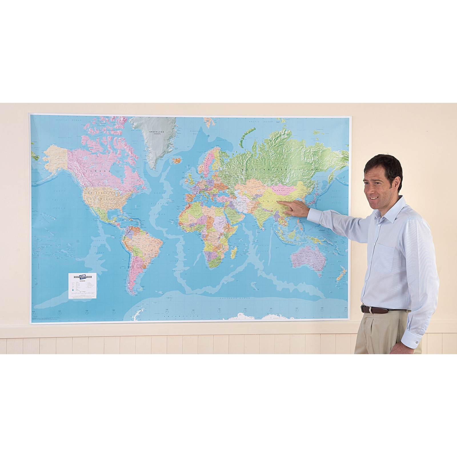
This extra large 'write on, wipe off' political map of the world is based on the Mercator projection. The map shows political boundaries with each country depicted in a different colour, and also coloured relief and ocean depth depictions. The map is bonded between 2 sheets of tough, flexible clear plastic and has been created using the most up-to-date technology, with an exceptionally clear format highlighting political boundaries. Size: 1.2 x 1.84m.
Specifications
UNSPSC Code
55101501
Categories
Geography
